Quick answer
A walking tour san francisco map typically covers three to five miles and connects Union Square, Chinatown, North Beach, and Fisherman's Wharf along flat or moderately hilly routes. Most self-guided paths take two and a half to four hours depending on stops, with the best morning window between 09:00 and 11:00 when light is optimal and sidewalks are less crowded. Download or print maps in advance since cellular signals weaken in hilly districts.
San Francisco contains forty-three named hills within forty-nine square miles, yet the majority of its iconic landmarks sit within a two-mile pedestrian corridor that runs northeast from Union Square to the waterfront. A walking tour san francisco map serves as both a practical navigation aid and a thematic framework, organizing cable car lines, historic districts, and bayside promenades into logical loops rather than scattered waypoints. The most frequently mapped route begins at Union Square—the retail and transit hub at Powell and Geary—and threads north through the Stockton Street tunnel into Chinatown's produce markets and temple courtyards. From the Dragon Gate at Grant Avenue, walkers continue uphill to North Beach, where Columbus Avenue's cafes and City Lights Bookstore anchor the Italian quarter, then descend along Telegraph Hill's Filbert Steps to Coit Tower and the Embarcadero waterfront. The return leg follows the bay east to Fisherman's Wharf and Pier 39, closing a roughly four-mile loop that captures four distinct cultural districts without backtracking. Alternative maps emphasize topography over density. The Lands End Coastal Trail traces the city's northwestern edge along cliffs above the Golden Gate, while the Embarcadero's flat three-mile promenade connects the Ferry Building to Oracle Park with uninterrupted water views. Union Square itself radiates shorter loops: a Financial District walk threads skyscraper canyons and the Transamerica Pyramid, while a western route climbs to Nob Hill's grand hotels and Grace Cathedral before descending through Polk Gulch. Successful route planning accounts for San Francisco's microclimates and elevation swings. Morning fog blankets coastal trails until midday, while south-facing slopes in Bernal Heights and Potrero Hill remain twenty degrees warmer than the Richmond District. Most printed maps layer elevation shading or contour lines to flag steep blocks—Russian Hill's Lombard Street, for instance, sits atop a 16 percent grade—so walkers can sequence ascents strategically rather than clustering climbs at the end of a route. Digital maps with turn-by-turn directions supplement but do not replace printed sheets, which remain legible when batteries drain and remain functional in neighborhoods where GPS signals bounce between glass towers.
“San Francisco's iconic landmarks sit within a two-mile pedestrian corridor, organizing cable car lines and historic districts into logical loops rather than scattered waypoints.”
Planning Your Walking Tour San Francisco Map Itinerary
This half-day route suits first-time visitors and urban explorers looking to cover San Francisco's most character-rich neighborhoods on foot. Budget four to five hours including stops for photos and refreshments.
Union Square Start
Begin at Union Square, the city's retail and cultural heart. Pick up a coffee and orient yourself using the map kiosks near the Dewey Monument.
Chinatown Gate & Grant Avenue
Walk north through the Dragon Gate into Chinatown, then follow Grant Avenue past herb shops, dim sum parlors, and the Tin How Temple alley. Allow 60–75 minutes to wander the side streets.
Portsmouth Square & Waverly Place
Cut through Portsmouth Square, Chinatown's historic plaza, then explore Waverly Place for its painted balconies and temple facades. This pocket takes 20–30 minutes.
North Beach via Broadway
Cross Broadway into North Beach, San Francisco's Italian quarter. Stop at Washington Square Park, flanked by Saints Peter and Paul Church, and grab lunch at a trattoria or bakery.
Coit Tower Climb
Ascend Telegraph Hill to Coit Tower for 360-degree views and WPA murals inside the lobby. The uphill walk takes 15 minutes; budget another 30 at the summit.
Filbert Steps Descent
Descend via the Filbert Steps, a hidden wooden staircase lined with cottage gardens and resident parrots. The path delivers you to the Embarcadero waterfront.
Embarcadero & Ferry Building
Walk south along the Embarcadero to the Ferry Building Marketplace for artisan vendors and bay views. From here, streetcars and ferries connect you to other districts.
Best Time to Follow a Walking Tour San Francisco Map
The best arrival window for utilizing a walking tour San Francisco map is 09:00–11:00. Arriving during this period ensures the best morning light and lower pedestrian traffic before midday crowds emerge.
September to October
ModerateWarmest, 65°F to 75°F
These months offer the clearest skies and most consistent warmth. Planning tours here minimizes fog interference.
April to May
ModerateMild, 60°F to 68°F
Spring brings pleasant temperatures and lower humidity levels. This period is ideal for extensive outdoor walking.
Weekday mornings
Low to Moderate—
Focusing on Tuesday through Thursday helps avoid weekend congestion. This schedule provides the clearest pathways for navigating your map.
Verdict: For optimal conditions, plan your visit for Tuesday to Thursday between 09:00 and 11:00 during the months of April or October.
Entrance Fees for Walking Tour San Francisco Map Routes
Admission costs for walking tour routes in San Francisco depend on whether you participate in independent exploration or join a public walking tour. Public access to the mapped walking routes is provided at no cost.
Nearby Attractions for Your Walking Tour San Francisco Map
Extend your exploration beyond the walking tour route by visiting these nearby landmarks. Each location is within a short walk of Union Square, allowing for a seamless transition between guided discovery and independent sightseeing.
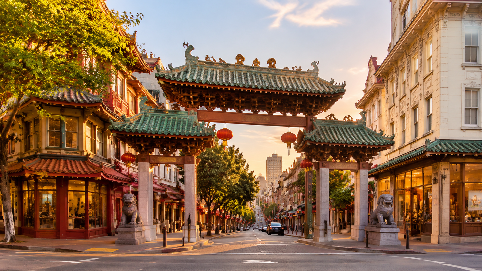
Chinatown
Located just north of the square, this historic district offers a distinct contrast in architecture and culture that complements your walking route.
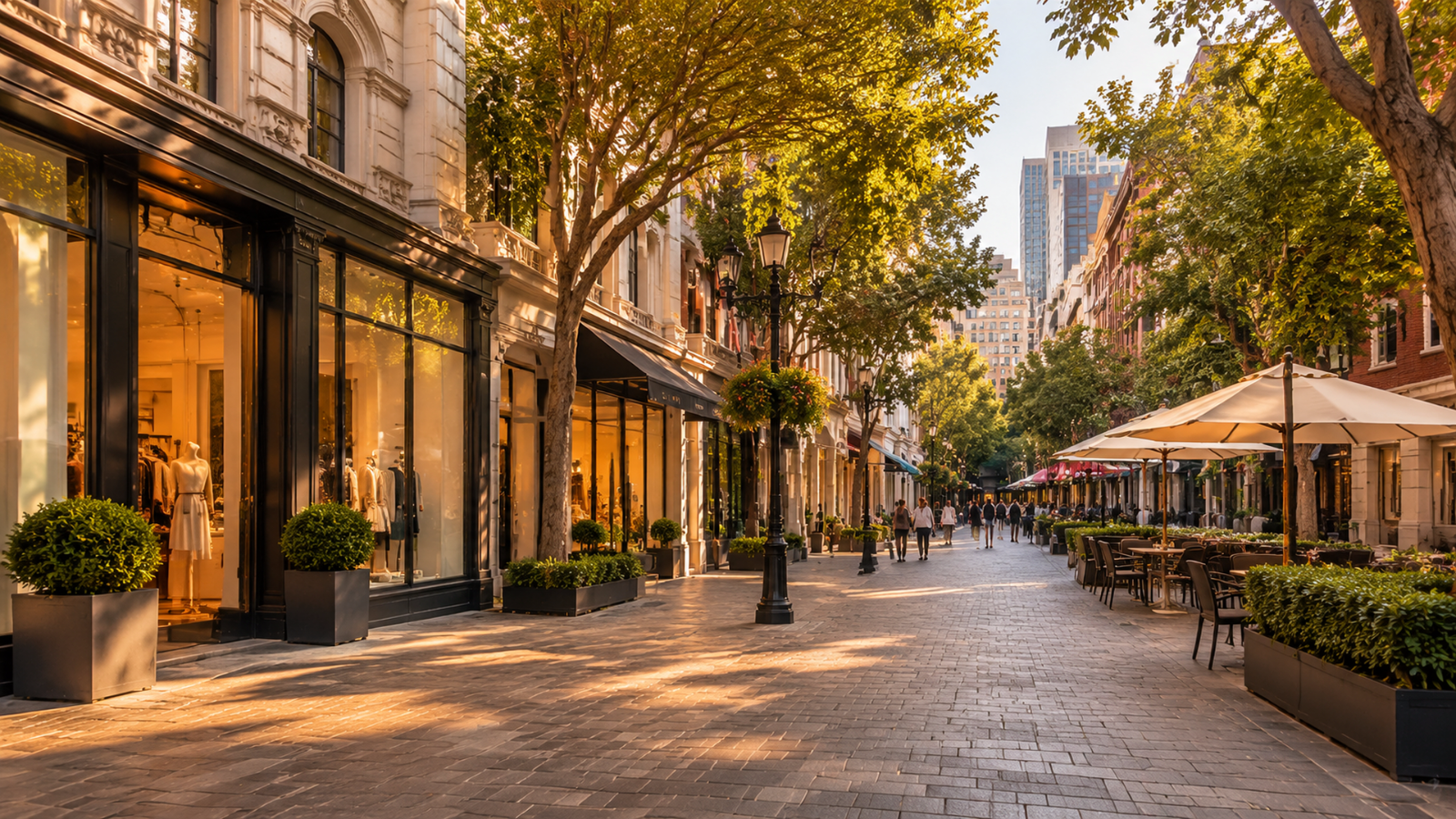
Maiden Lane
This charming pedestrian-only street features high-end boutiques and cafes that provide a quiet retreat immediately following your tour.
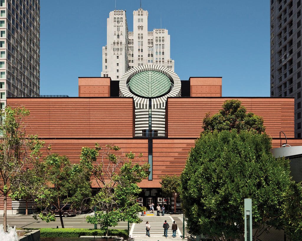
San Francisco Museum of Modern Art
Situated south of the tour endpoint, this institution houses an extensive collection of contemporary works perfect for those interested in art history.
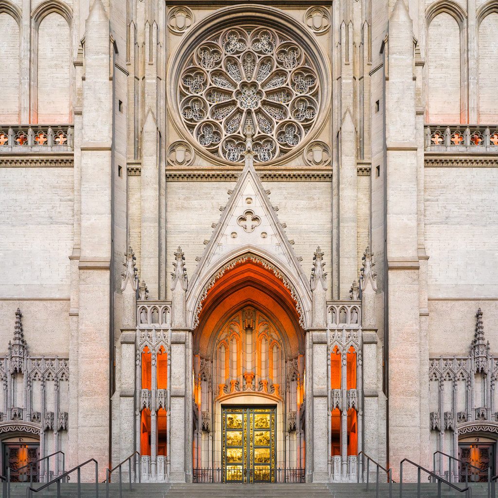
Grace Cathedral
A short walk up Nob Hill brings you to this landmark, known for its Gothic architecture and intricate labyrinth, offering a calm conclusion to your day.
Check availability
Frequently asked questions about walking tour san francisco map
Everything you need to know about walking tour san francisco map